
Finding a Concord Street Address
A street-by-street search in Concord starts with the county property record, not with a name-only directory. The tax record can connect a street number to a parcel, taxpayer, legal description, and deed reference. That establishes a property trail, though it does not establish every person who may be at the address. The county map then helps separate one parcel from the next. Historic street guides can add a dated household clue, but their coverage follows the publisher's service area rather than today's city boundary.
- Enter the address in the county real-estate search. For a longer street list, leave the house-number field blank, enter the street name, and use municipality, direction, or type to narrow the result.
- Record the parcel or account identifier, situs address, legal description, and deed book or page when shown. Keep the full identifier, including leading zeroes and any suffix.
- Open the address or parcel in the county map and inspect adjacent parcels. The map is useful for seeing how addresses, lot lines, and street frontage relate.
- Use the current owner name and legal description in the county deed index to locate the current instrument and then work backward through prior grantors.
- For a dated household clue, compare a Baldwin or Hill numerical street guide and alphabetical entry. The historical collections belong on the Concord City Directory shelf, where their coverage and abbreviations are described in detail.
Registered-voter information is not a street-list feature. The state lookup requires a person's name, and there is no public button that returns everyone on a street. A county or precinct voter-file request is a separate public-record route with protected details removed.
Concord Street Directory Property Search
The Cabarrus property form is the practical first stop for a Concord street directory search because it exposes an address in parts. It requires at least one search field. House number, unit, direction, street name, type, suffix, municipality, zoning type, and legal-land-size fields can be combined when a road name is common. Owner name, account number, and separate parcel or TMP components provide other ways to recover a record when a street spelling is uncertain.
| Real Estate Search field | Use on a street search | Format note |
|---|---|---|
| Property Address, House # | Find one known address | Enter the numeric portion only |
| Street Name | Browse a street without a house number | Pair with municipality when needed |
| Direction and Type | Distinguish similar road names | Dropdown choices were not rendered in the research inspection |
| Municipality and Zoning Type | Narrow a broad result set | Useful where county and city geography meet |
| Account, parcel, or TMP components | Return to one exact parcel | Preserve each component and suffix as displayed |
The county cautions that its information is compiled from recorded deeds, plats, and other public records and should be checked against primary sources. A parcel card may include values, exemptions, an improvement sketch, and sales data, but the field layout can vary. Treat the record as a route to the recorded document, not as the final legal answer.
Note: The public form documents an address search, but its current result limit for a long whole-street search was not verified.
Map Cabarrus for Concord Street Parcels
The county land-record interface accepts an address, current owner, real ID, property description, or PIN and is a useful bridge when a street directory result needs a clearer parcel identity. Its current-owner wording is important: it points to the property record, not a complete roster of people connected to an address.
CLaRIS land-record search is shown below as one of the county's address-keyed entry points.
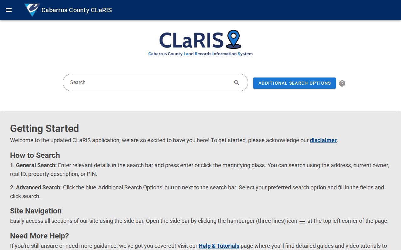
Use its result as a cross-check before following a parcel into the tax roll, map, or deed index.
For street context, the county parcel viewer accepts parcel, owner, and address searches. Select a parcel, then inspect adjoining parcels or turn on zoning, flood-area, school-district, and other layers. Historical aerial imagery reaches back to 1938. Its print, share, measurement, and coordinate tools preserve location context when several Concord street addresses look alike, although the map cannot identify a household by itself.
The Cabarrus GIS Department describes the county’s mapping applications and data resources.
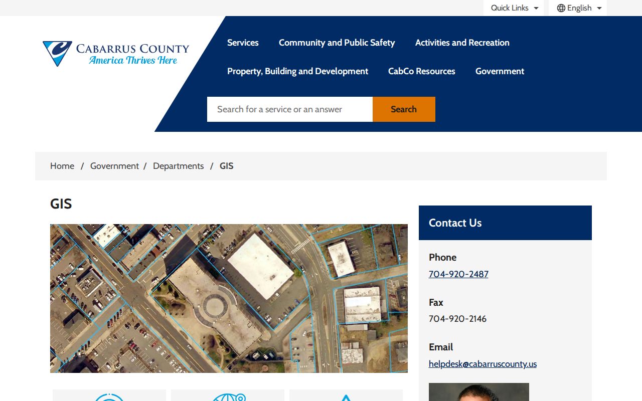
GIS resources provide the map context for a parcel search, while the Register of Deeds and recorded plat supply the controlling land record.
Concord Records Available by Address
Each address-keyed system has a narrower role. The property roll identifies owners or taxpayers and parcel facts. The map explains spatial context. Recorded land instruments establish transactions and legal descriptions. Permit and code records may describe work or a case at the location. None of those sources is a full resident list. The table keeps their evidentiary value separate.
| Address record | Custodian | What it can establish | Access path |
|---|---|---|---|
| Property and tax roll | Cabarrus Tax Administration | Taxpayer, parcel, situs, legal description, deed reference | Free web search |
| Parcel map and layers | Map Cabarrus | Parcel geometry, nearby lots, zoning, flood, school and aerial context | Free map viewer |
| Recorded deeds and plats | Cabarrus Register of Deeds | Parties, legal description, prior references, subdivision plats | Remote index or office indexes |
| Permit records | Cabarrus Accela | Permit details, applicant or contractor, and dates when published | Online search |
| Code records | Concord Code Enforcement | Address-specific violations, citations, or requests | Request by address and date |
A parcel identifier often carries the chain across these records, while the street address makes the first search easier. Match the legal description, lot or block, and recorded references before treating records as the same property. A street name alone can be ambiguous, especially near municipal boundaries or where a historic community label was used.
Concord Street Directory Address Terms
Address records use several labels that look interchangeable but are not. Capturing each one makes a Concord street directory trail more reliable when a current street name differs from an older guide or the correspondence address lies elsewhere.
- Parcel or PIN
- A county identifier for a mapped property. Cabarrus displays parcel and TMP components rather than one universal street number.
- Situs address
- The physical location of the parcel. It is the address to compare with map geometry and permits.
- Mailing address
- The address used for tax correspondence. It may belong to an owner, fiduciary, organization, post-office box, or attorney and does not prove occupancy at the situs.
- Plat
- A recorded map of a subdivision, lot, condominium, or right-of-way. A lot and block on a plat can hold a property trail together even when street wording changes.
- Criss-cross directory
- A street-order or numerical directory section that starts from an address and identifies a historical householder.
Concord Street Deed Chains
The county land-records office says its remote site provides indexes and images from 1792 to the present, including subdivision plats, condominium plats, and North Carolina right-of-way maps. When the vendor site does not produce a usable result, the office at 65 Church Street South maintains hard-copy and computer indexes. County hours list 8 a.m. to 5 p.m.; calling before an in-person visit is prudent.
Start with the current owner's recorded instrument as grantee, read the prior grantor, then search that grantor as a grantee. At every turn, compare the legal description, subdivision, lot, block, acreage, or plat reference. This prevents a chain from jumping to another property with a similar Concord street address. Exact live remote-search fields and online image pricing were not verified, so use the active portal or office staff for current instructions.
The story behind Union Street is useful here. Concord's name reflects a compromise over the county-seat location, and Union Street was named for that agreement. The historic North and South Union Street districts give old address references added context, but no official citywide renumbering year was located. Do not assume one when a historical address fails to match a modern number.
Concord Street Addressing and E911
The city address division publishes a street listing with names and address ranges and directs address matters through Planning and Development Services. The city ordinance describes a uniform road-address system used across the county and municipalities for emergency response and public services. Within the city's jurisdiction and ETJ, Planning assigns property and building numbers, maintains address records, and can change numbers to keep them sequential.
Cabarrus Addressing coordinates the multi-jurisdiction E911/GIS master address database. For new subdivisions, addresses are assigned within 14 business days after a final plat is received and entered into GIS. That explains why a recently created address can appear on a plat, permit search, tax card, city listing, and postal record at different times. Save the source date with any address result.
Concord's addressing resource provides the city-facing route for street listings and address questions.
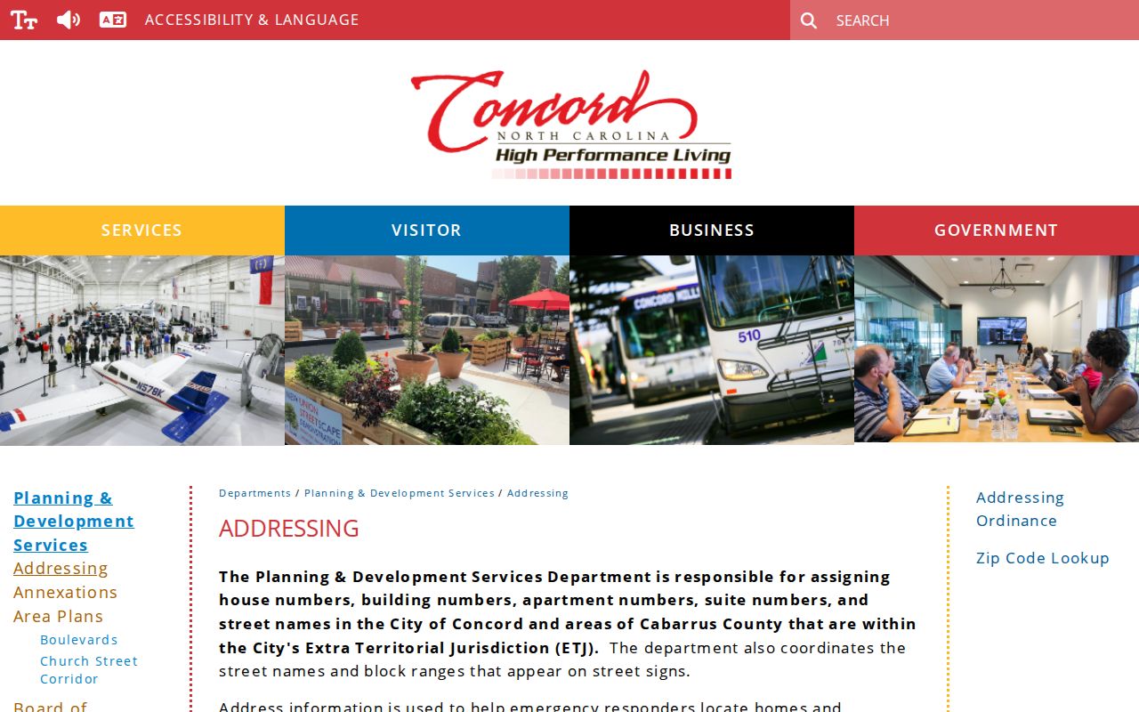
The city listing is especially useful for normalizing a street spelling or verifying whether a road and its range are in Concord city limits.
Concord’s road-name and address-display ordinance explains the city’s uniform-address purpose.
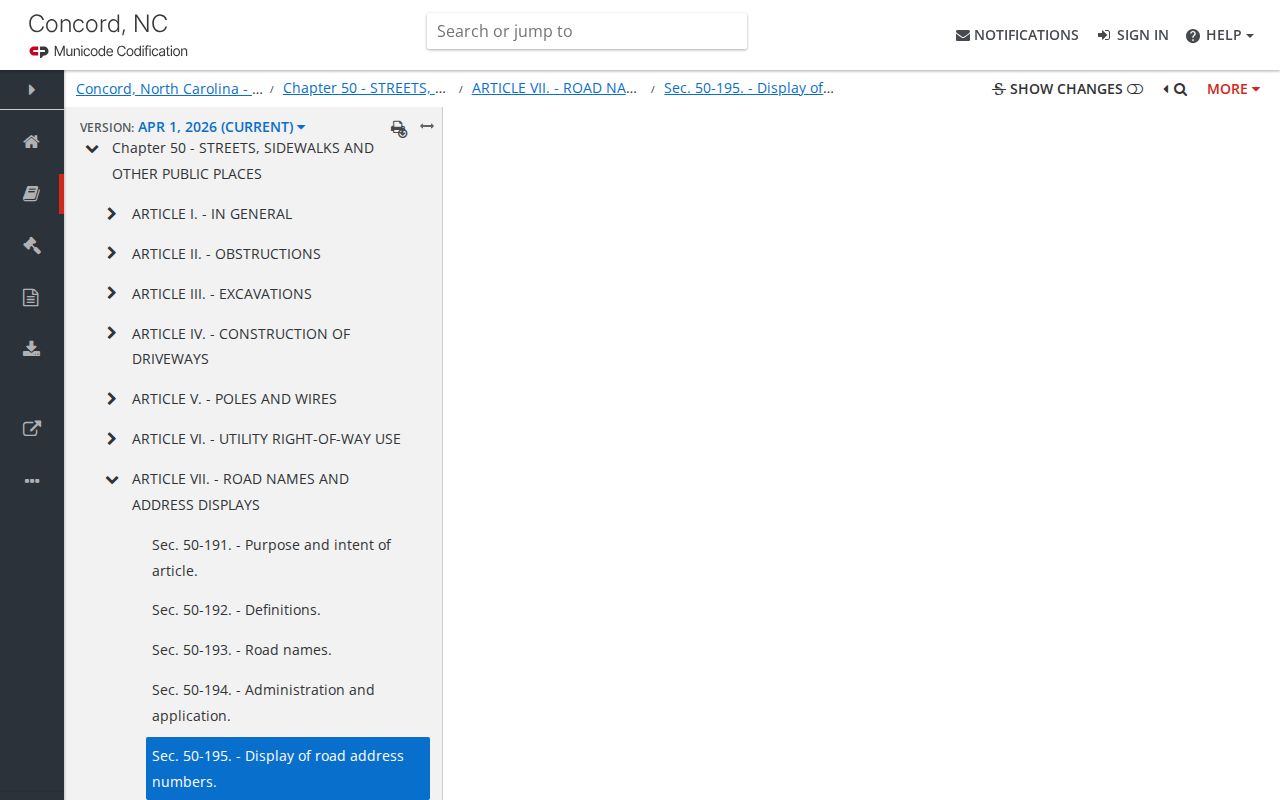
The ordinance is useful for the administrative rule behind a street number, but a parcel’s legal description remains the stronger historical key.
Note: A Concord postal city label and a property inside Concord's corporate boundary are separate facts; check the parcel jurisdiction and city layer when that distinction matters.
Concord Street Permit and Code Files
The county permit portal accepts site address, ZIP, parcel, contractor, and permit information. It can support a street-record trail by tying a published permit to a location and date, but it identifies an applicant, contractor, owner, or approval holder rather than every person at the address. The earliest online permit year was not verified in the research, so a missing result is not proof that no older permit exists.
The official Accela portal is the source for the interface shown here.
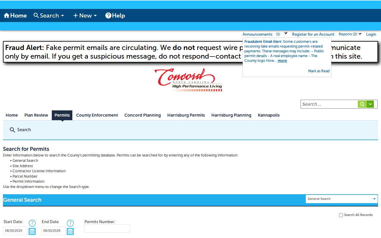
Confirm any payment request through independently obtained city or county contact information: the local permit pages warn about fake permit emails.
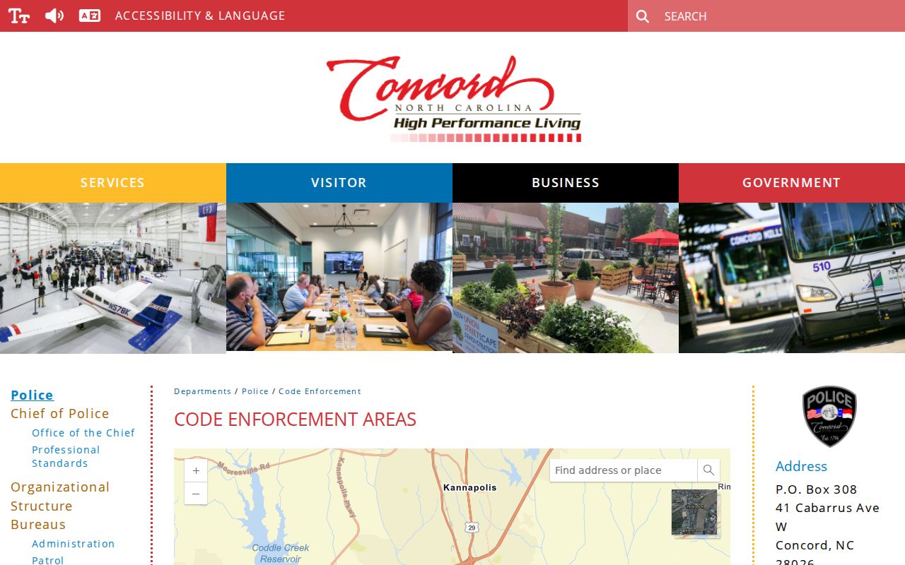
The city code office handles violations and citations and accepts a records request framed by address and date. That is a fallback when a public portal search is not enough. Give staff the complete street address and a date range so they can distinguish a records request from a general question. The result remains address evidence, not a household roster.
Concord Code Enforcement is the city source for the records function and contact route.
A notice may carry more than one name, such as an owner, approval holder, occupant, or person doing work, so it must not be read as a verified resident list.
Historic Concord Street Directory Clues
Baldwin and Hill volumes included numerical householders and street guides alongside their alphabetical listings. Search the street section first, then compare each entry in the alphabetical section for a spouse, occupation, employer, and other historical context. Try road abbreviations, rural-route labels, and mill-community names. The 1952 Hill directory includes Brown Mill, Cannon Mill, Franklin Mill, Hartsell Mill, Jackson Park, Shankletown, Sidestown, Silver Hill, and rural routes from the Concord Post Office.
Those labels should be treated as search aliases, not casually converted into present-day neighborhoods. Inspect the digitized page image because OCR can distort initials, apostrophes, abbreviations, and north or south street designations. The Concord City Directory collections provide the year-by-year context and access channels for that work.
Limits of a Concord Street Directory
Public records can support a careful property or historical address trail, but they do not turn into a complete list of everyone who lives on a Concord street. The assessor records owners and taxpayers. Voter lookup is name-first and preserves protected fields. Utility-billing information is excluded from ordinary public access under North Carolina law. Historic directories were publisher canvasses, so some people were missed and their geographic scope may include rural routes or mill communities beyond modern city lines.
Lawful use. Use Concord address and street records only for lawful, personal research. Do not use them to stalk, harass, intimidate, or harm anyone; North Carolina's stalking law addresses a course of conduct without legal purpose.
Some addresses are also protected through the North Carolina Address Confidentiality Program. A missing or substituted address is a privacy safeguard, not a gap to work around. Verify important findings with the agency that holds the original record.