
Concord Neighbors by Block Sources
A block-level search has separate sources for geometry, ownership, recorded land rights, civic geography, and historic context. Map Cabarrus is useful for the first pass because it connects an address to a parcel and the parcels around it. The assessor and Register of Deeds add current tax and title references. A city-recognized neighborhood name describes an area, not the people who belong to an association. Treat each item as evidence for its own narrow question.
| Source | What It Shows About a Block | Access |
|---|---|---|
| Map Cabarrus | Parcel geometry, adjacent parcels, details, layers, and historic aerial context | Free web map; county says it is not a legal source |
| Cabarrus assessor | Owner or taxpayer, mailing and situs fields, values, and deed references for a parcel | County search portal |
| Register of Deeds | Deed chain, plats, easements, and lot or block descriptions | Remote index and office access; 1792 to present stated by county |
| Voter file | Allowed county or precinct fields when lawfully requested | Name-first search or county and precinct list under state law |
| Concord neighborhood map | Recognized neighborhood name and geographic context | Free city address and map search |
An owner entry can establish a property connection. It does not establish that every person at an address is shown. A record of nearby parcels is therefore a parcel inventory, not a roster of Concord neighbors.
The Concord recognized-neighborhood map is the city source for that geographic layer.
The map helps place a parcel within a named area. It does not publish a membership list, officer list, or private contact list for that area.
Map Concord Neighbors Parcel by Parcel
Map Cabarrus accepts a parcel, owner, or address search. Choose the matching parcel, open its details, then click adjoining polygons one at a time. The county documents Distance and Area tools, layers, printable details, and share links. It does not document a select-all-adjacent or radius query, so do not assume one exists. Use map browsing and the measurement tools to define the block you are reviewing.
- Search the known address, owner, or parcel and verify the selected situs against the starting address.
- Open Parcel Information and record the PIN or account, legal description, owner or taxpayer, mailing address, and deed reference shown for the parcel.
- Click each adjacent polygon and repeat the parcel notes. Use Distance or Area only to describe the map area, not to create an undocumented radius search.
- Compare a needed ownership detail with the assessor and, when appropriate, the Register of Deeds image or plat.
- Save a map link or printout as context, then keep the recorded deed or plat as the source that controls a land-boundary question.
The Concord street directory follows a longer address chain along a named street. The immediate-block method stays focused on parcels beside the starting location.
Concord Block Layers and Aerials
Map Cabarrus layers add context to a Concord block. Parcel, zoning, flood, school, district, and neighborhood layers can show how an address relates to public boundaries or planning categories. They do not prove the location of a private association boundary or the current people at an address. The county disclaimer is important here: primary sources control when a legal question arises.
Historic aerials reach back to 1938. Aerial comparison can show a changed street pattern, a new structure, or a formerly open parcel. Pair the aerial date with the deed reference, plat, or permit evidence before drawing a conclusion about a block's history. The map can also print property details on a second page, which is useful for a dated research note.
Note: Record whether a map detail came from a parcel layer, an aerial year, or a deed because those sources answer different questions.
Concord Tax Records by Parcel
The Cabarrus County Real Estate Search helps verify the tax record for each selected parcel. Its field model includes account and parcel numbers, PIN, legal description, situs address, land and building values, taxpayer name and address, sales date, and deed book and page on the appraisal-card model. Mailing and situs fields must remain separate. The mailing field can point outside the block and is not a substitute for the physical property address.
A plat is a recorded map that identifies lots, blocks, phases, easements, or boundaries. If a street has new construction or a similar address, the plat and legal description can keep the parcel trail straight. The Register of Deeds states that subdivision plats, condominium plats, and right-of-way maps are available through its remote system. For land-boundary questions, consult the recorded source rather than the county map display.
Concord Neighbors and Voter Lists
North Carolina's Voter Search is name-first, so it does not serve as an address-first block tool. A lawful county or precinct voter list may include fields permitted by N.C.G.S. 163-82.10, such as name, residential and mailing address, party, age, precinct, districts, and voter history. The exact Cabarrus request form, fee, and delivery format were not located, so ask the elections office for the current process.
Full date of birth, Social Security number, driver-license information, email, and protected Address Confidentiality Program addresses are not part of the public list. Voter history records participation method and primary-election party when applicable, not a candidate choice. Registration also is not proof that a person currently occupies a particular property.
Concord Neighborhood Map Names
The city map identifies geographic names such as Afton Park, Afton Village, Asheford Green, Autumn Ridge, Ridge View, Riverwalk, Roberta Farms, Roberta Woods, Sapphire Hills, Sheffield Manor, Sidestown-Shankletown, Silverhill, Southern Chase, Stonebridge Townhomes, Terres Bend, and The Woodlands. A name on the layer is useful context for a block, historic research, or a request directed to a specific City record.
That layer does not establish association membership, private boundaries, or a resident contact list. An association may organize its own communications, while the City recognition program documents a different public relationship. Avoid treating a map label as proof that a parcel is covered by a particular group.
Concord Neighborhood Recognition Process
The Concord Neighborhood Program recognizes a geographically distinct city area after an association organizes with elected officers, current bylaws, at least one general meeting each year, and open membership for residents and property owners without discrimination. The program also describes a City liaison, community-room use, and newsletters. Recognition is civic support, not a City-maintained directory of Concord neighbors.
The recognition application is better suited to a precise request for association history, boundaries, officers, meetings, or bylaws than for a broad list of people in an area.
The Concord staff directory provides a public route to City departments when a question concerns a program record rather than private association information.
A focused request that names the association, record type, and date range is more likely to reach the correct City custodian.
Concord Neighborhood Grants Context
In the 2025-26 fiscal year, City Council awarded $30,000 in matching grants to recognized neighborhoods. The published examples include Allen Mills, Bedford Farms, Carriage Downs, Christenbury Hall, Christenbury Master Association, Hidden Pond, Highland Creek, Hunton Forest, Logan Community, Oakleaf, Parkview Estates, and Winding Walk. The grant list shows an active recognition layer, but it does not establish that any individual parcel is in one of those areas or that every association keeps the same records.
| Recognized-area evidence | What It Can Support | What It Does Not Establish |
|---|---|---|
| Allen Mills, Bedford Farms, and Carriage Downs appear in the City grant list | City recognition or grant context | Member names or a complete address coverage list |
| Christenbury Hall, Christenbury Master Association, Hidden Pond, and Highland Creek appear in the grant list | A reason to seek a specific association record or City liaison record | Private contacts, participation, or a household list |
| Hunton Forest, Logan Community, Oakleaf, Parkview Estates, and Winding Walk appear in the grant list | Current civic-program context | That a nearby parcel is within the association or that a roster is public |
The Concord city phone directory gives public department numbers for a City-record fallback.
Use a public department number to ask which office holds a named recognition application, boundary map, meeting record, or grant document.
The Concord boards and commissions page is another public civic resource, but appointed-board rosters do not identify all people in a neighborhood.
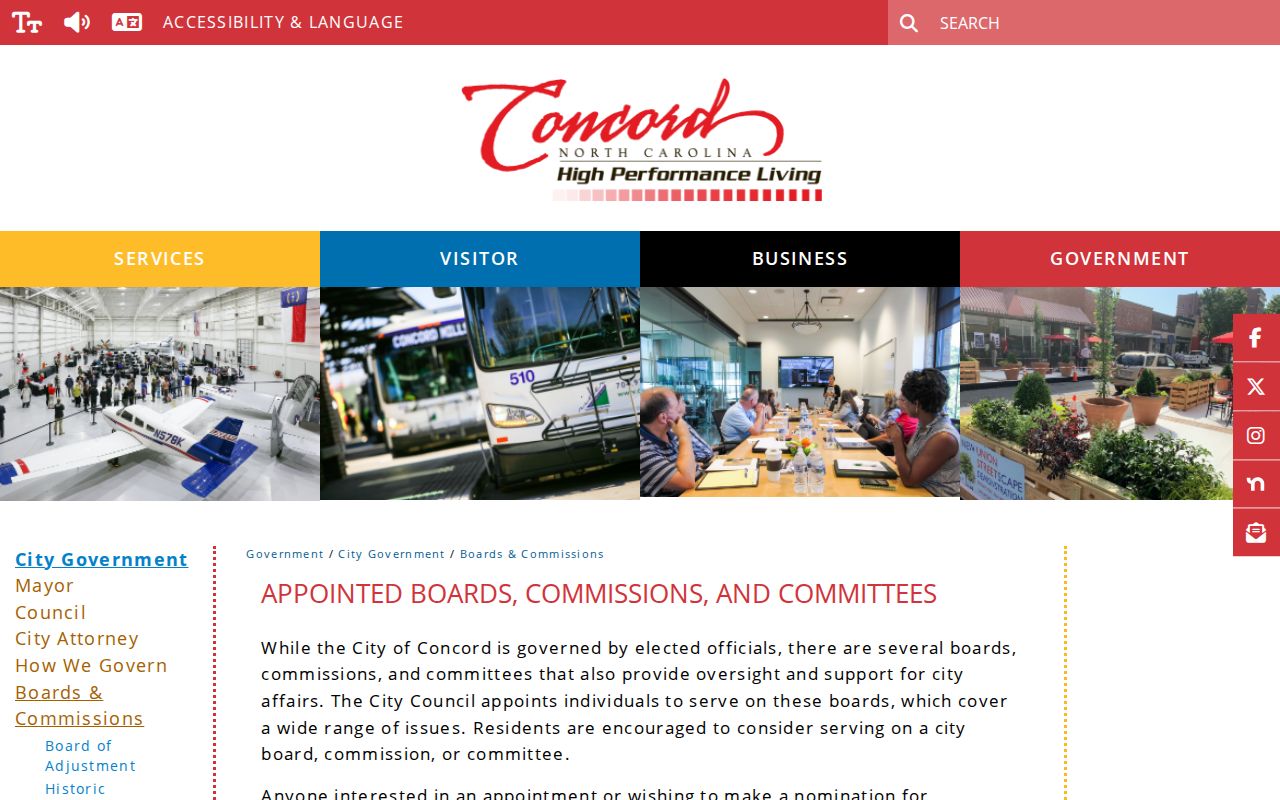
Public civic rosters can clarify a formal City role. They should never be stretched into a block contact list.
Official Concord Block Sources
Official land records are better for a parcel question because they identify the county custodian, record date, and document type. Commercial neighbor tools may combine public property, directory, and marketing information, then conflate a parcel with a person or carry an old association. Neither category identifies every person at a home. Use the source that matches the narrow fact being checked.
| Source category | Best use | Limit |
|---|---|---|
| Official GIS, assessor, deed, and plat records | Parcel adjacency, current tax detail, title, and land description | Different records may update at different times and do not list every person at an address |
| Commercial neighbor tools | General lead that must be checked with a custodian record | May be stale, merged, or unclear about its source date |
| Voluntary association communications | Publicly posted events or contact route | Private membership and contact details remain under association control |
Save the parcel number, recording reference, or dated map link with any result. That makes it possible to revisit the same official record when ownership, mapping, or neighborhood context changes.
Concord Neighbor Privacy Limits
Some information about a block is not a public directory. Utility customer and billing records, motor-vehicle address data, private association lists, juvenile matters, sealed or expunged files, police investigative and witness information, protected voter addresses, and information about people not indexed as owners or voters have separate limits. The North Carolina Address Confidentiality Program keeps the actual address of approved participants out of public records.
City program records can be requested for a named association, application, meeting, or boundary document. They are not a reason to request a vague list of everyone near an address. Respect the difference between a public parcel fact and private personal information.
Lawful use. Use Concord neighbors information for a legitimate personal, civic, or property question, never to monitor, harass, intimidate, or harm anyone.